
(km 50-90)
My head is in a daze. It is overcast this morning as Rikki dropped me off at the foot passenger entrance to the ferry. I thanked her for the lift, grabbed my gear, and we parted ways. My face hurt. The road rash had now set in. 20 hours ago I was mid way through an adventure race when I went over my handlebars on a downhill section of the course and nearly broke my neck. What a way to start a fucking hike, I thought to myself as I walked up and payed for my ferry ticket.
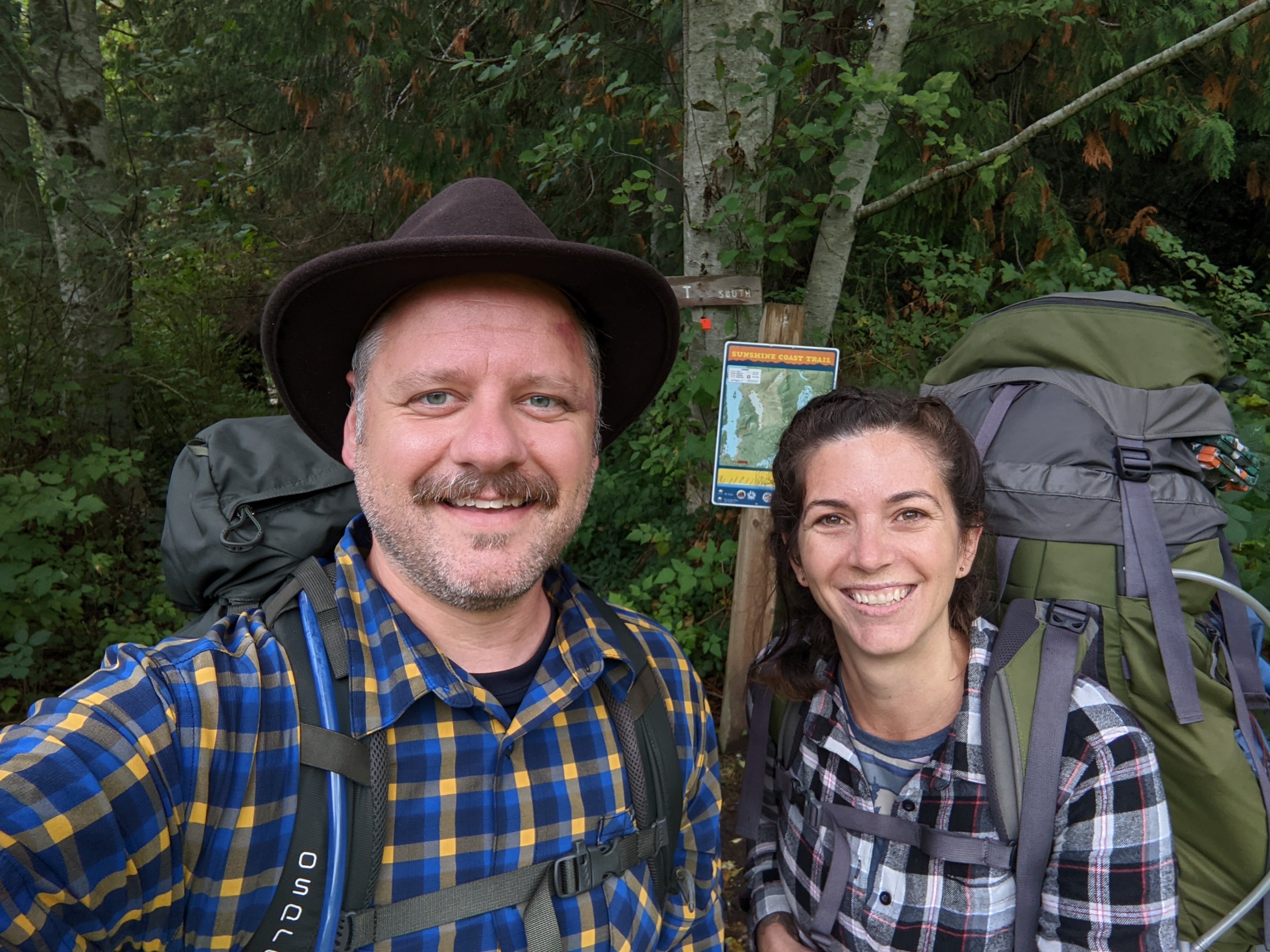
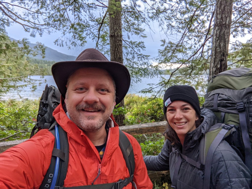
I sat in the little wind barrier area while I waited for the boat to arrive. I was eager to get over to the sunshine coast and start hiking. I needed to shake off this lingering feeling I had since crashing the bike. My friend Candace was waiting for me on the other side. She had flown over to Powell River to join me for this 40km section of the trail.
It was a quick ferry from Comox to Powell River BC, and I was soon off the boat and catching up with Candace outside of the terminal. I looked a bit of a wreck but felt ok. We flagged down a taxi to take us to the edge of town to pick up the trail where I had left it last year.
My intention is to complete the SCT over 4 years. Completing about 40-50km per year. Albeit a different way to approach the 180km trail. Most people like to plan and execute a one shot deal or maybe two different 90km trips, but this was the time that I can commit to this project. I had completed the first 50km solo about a year ago and was happy to have some company this time.
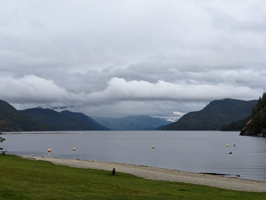
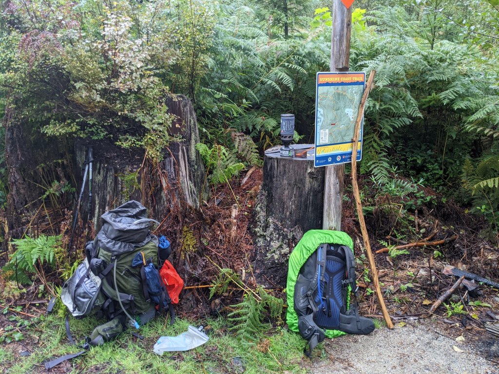
Our taxi driver took us across town as he shared with us (at great length) his thoughts on life. We arrived at Mowat Bay park, where we would meet up with the trail. We thanked our driver grabbed our gear and walked down to a picnic table near the trail junction. We repacked our bags and stowed away what wouldn’t be need for the next few days and headed out.
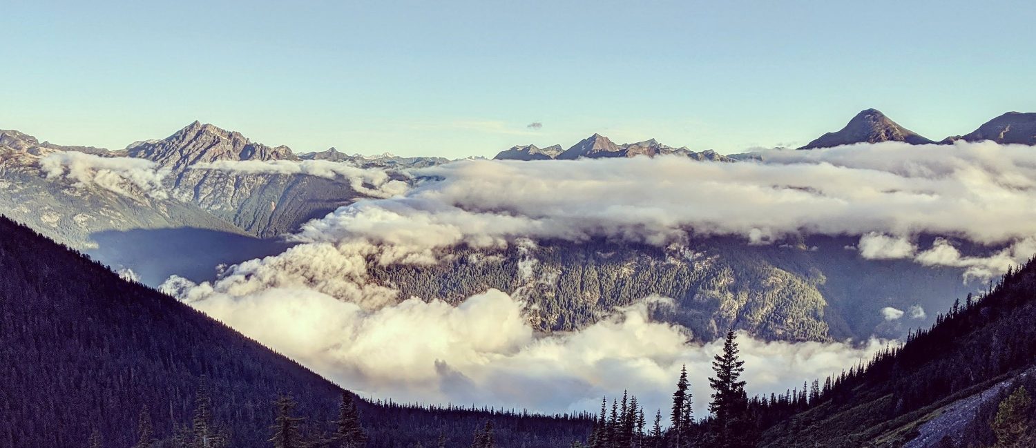
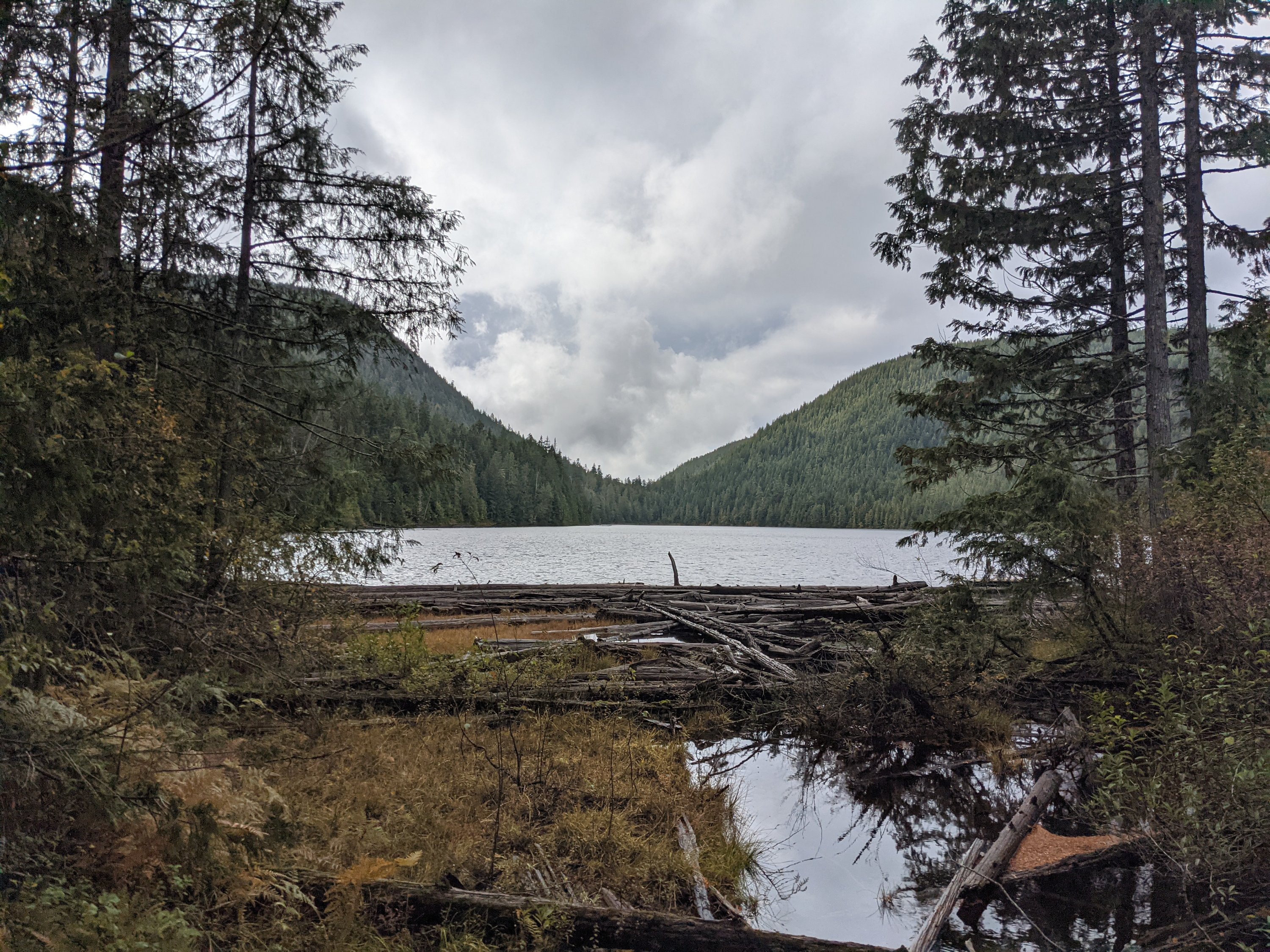
The trail hugged the shoreline for most of the morning, until it finally made its way over to inland lake. We wrapped around the southern end of it before leisurely making our way north towards Anthony Island where we camped for the night. It has been a busy 24 hours, and my brain has been buzzing, trying to keep up with all that I am doing. We sleep.
The next morning, we get up and ready in quick time. The shoulders were sore. The face is sore. It was windy through the night, and combine that with whatever the fuck howls we heard of some creature that was clearly disinterested with our presence last night, we had, let’s say less than quality sleep.
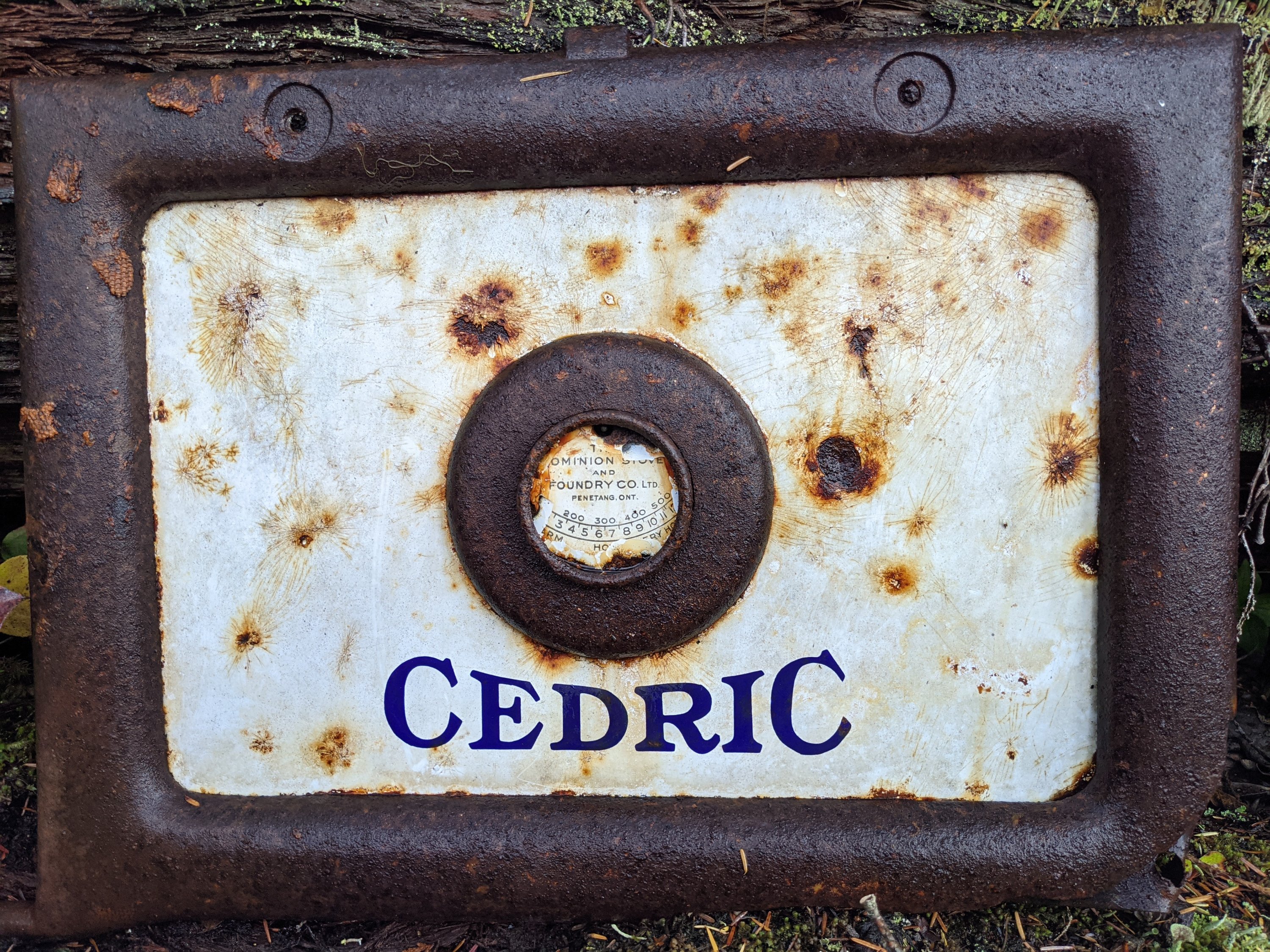
We pushed out off Anthony Island and made our ascent into the hills ducking under trees for the flash downpours that happened throughout the morning. We eventually came down and alongside Confederation Lake and had a brief lunch break of pita, hummus and tuna. After that the trail starts to descend down towards Fiddlehead Landing and an old farm, complete with relics of another era.
Happy to drop the packs, Candace and I made quick work of getting dinner going and called it for day 2. We slowly retreat to our sleeping bags and close our eyes.
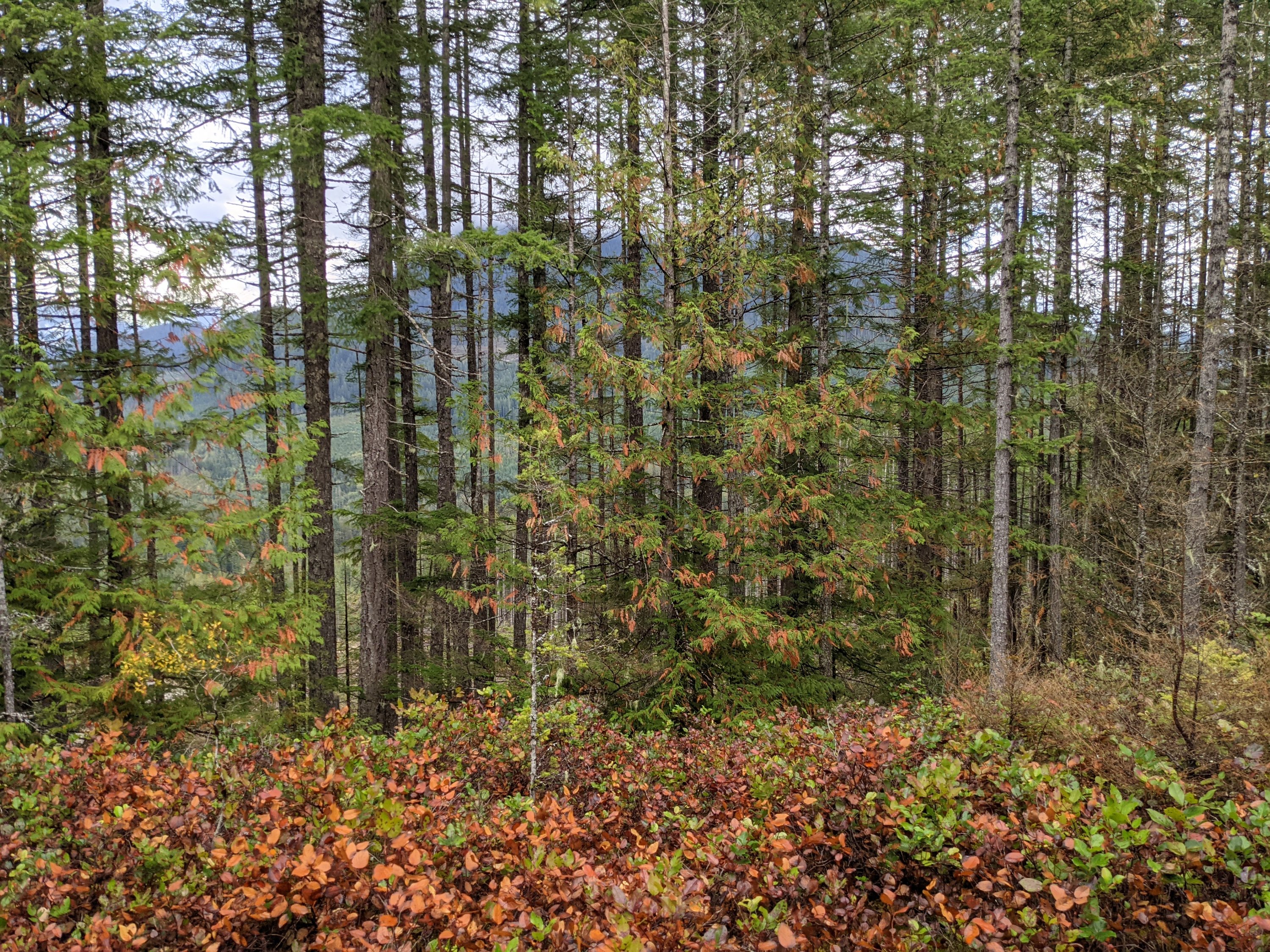
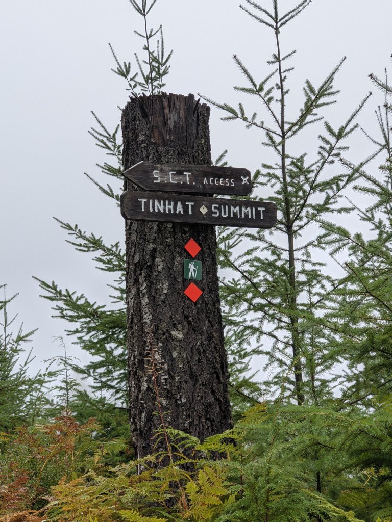
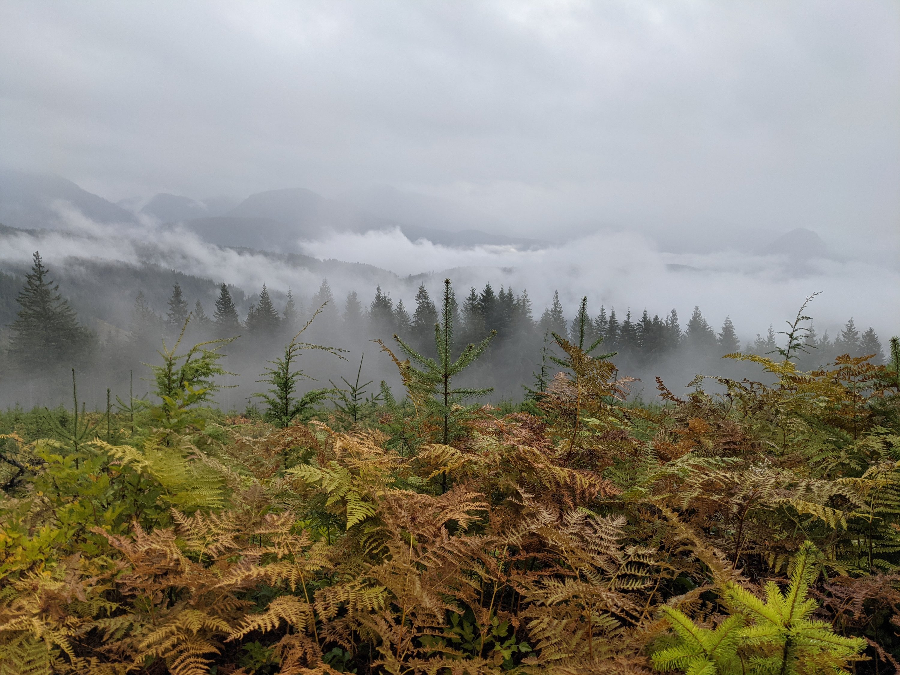
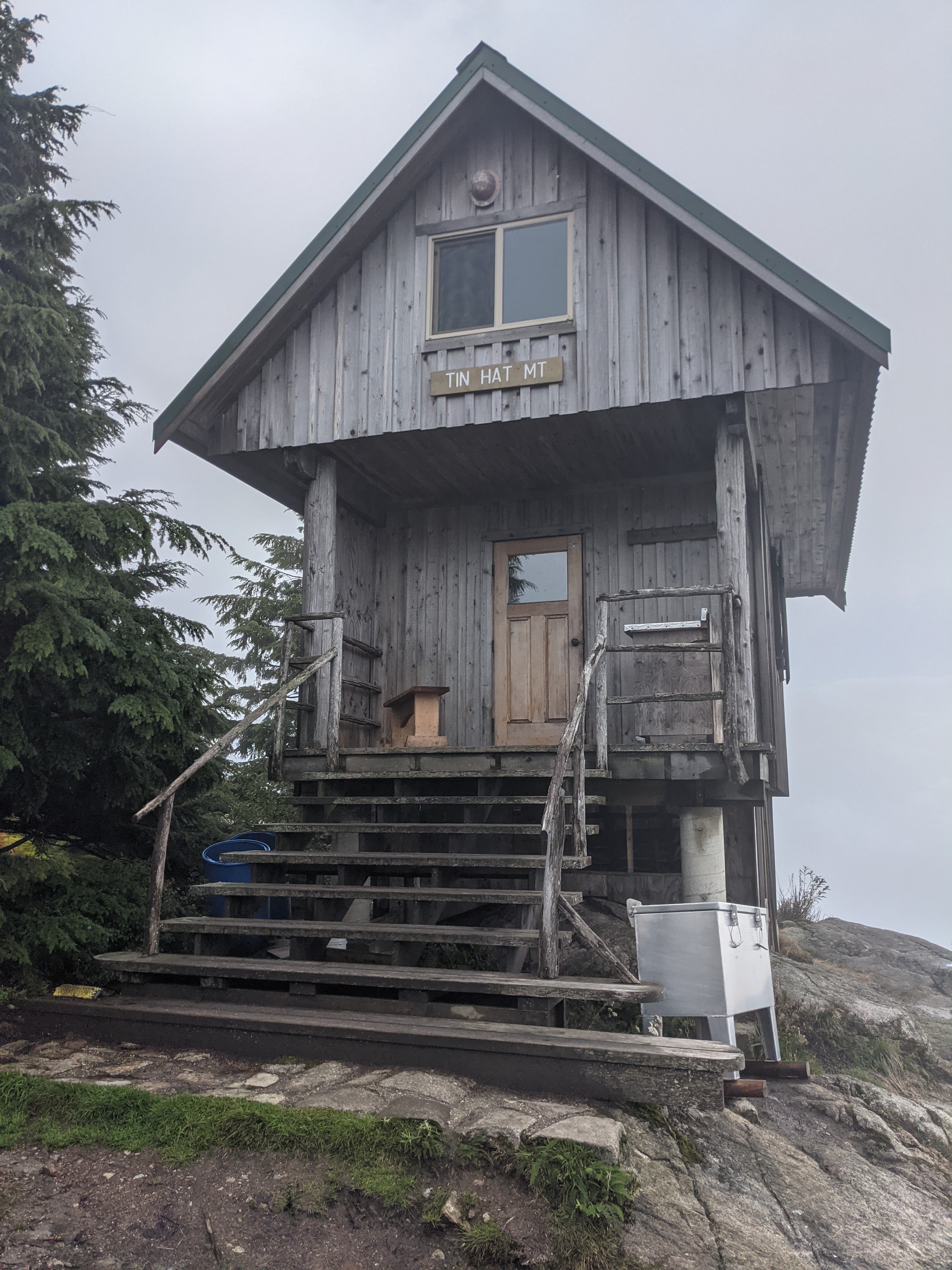
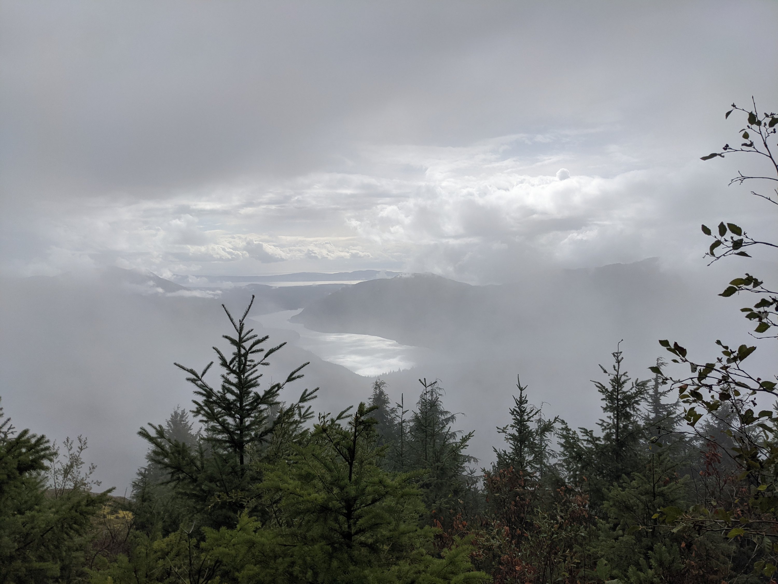
Day 3 had us awake to clearer skies as we began packing up and hiking out towards Tinhat Mountain. We did get our fair share of downpours again but less frequent than the previous days. As we dragged ourselves up along the decommissioned road just before the final push to the summit the skies opened up once more, just to ensure that we were not left dry upon our arrival at the top. We ducked into the shelter and the weather was now kicking up something fierce. Winds and rain pelted down nonstop and all we could do was try to dry off, and drive ourselves mad trying to light the pellet stove in the shelter. With no luck on the heat we resorted to whiskey and hot water. The winds did not settle down, and by 3am I could barely sleep, I checked my phone and saw the wind warning issued for the sunshine coast and that all ferry crossings were currently called off, we began to wonder a few things. 1. Was it going to be safe to get down off the summit? 2. Could we make it 8km to our guide pick up destination by 10am? 3. Would our flight home get cancelled?
By now it was apparent we weren’t sleeping anymore. We had some decisions to make. We were able to connect with our guide via email, and reroute our pick up to another extraction point, which would save us some distance. This also meant we had to get moving, now! We finished packing and had a laugh at our situation. The only reasonable thing to do in that moment.
We slowly descended back down off the summit and into the valley below. We followed a mixture of trail and logging roads until getting to our junction with about 20 minutes to spare. It was cold. It was wet, and we were certainly happy to see the end of the trail for this year.
Candace said she had one last chicken soup in her pack, and I knew we couldn’t fly with the fuel so we elected to cook up what we could. Our downside to this was the water we had left was from Candace’s water bladder and had some strawberry electrolyte mix in it. So strawberry soup it was. Weird. We ate it. But weird.
Our shuttle arrived and we packed our gear into the trunk and climbed inside. It was a 45 minute drive to the airport. I started thinking about the last 7 days. I had gone from adventure race to hiking and had covered over 75km in that time.
My face had felt much better and the feelings of the bike crash had started to fade. I thought about how different the trail was this year, compared to last year. The terrain, the solitude versus having someone to hike with. This was better. I asked Candace if she is interested in doing the next part of the trail with me in 2022. She’s all in! It’s good to have backup.
Cheers
